Southern Oregon
August 29 - September 10, 2025
On my way to California through Washington and Oregon, I stayed in Grants Pass, OR, for a few days to explore Crater Lake National Park and the Southern Oregon Coast.
Land Acknowledgement: Grants Pass (and most of Southern Oregon) is on the traditional and ancestral lands of the Shasta, Takelma, and Latgawa peoples, who were forcibly removed to the Siletz and Grand Ronde Reservations following the Rogue River Wars (1851-1856). These indigenous groups continue to exist as descendants within the Confederated Tribes of Siletz Indians and Confederated Tribes of Grand Ronde.
Trail Log:
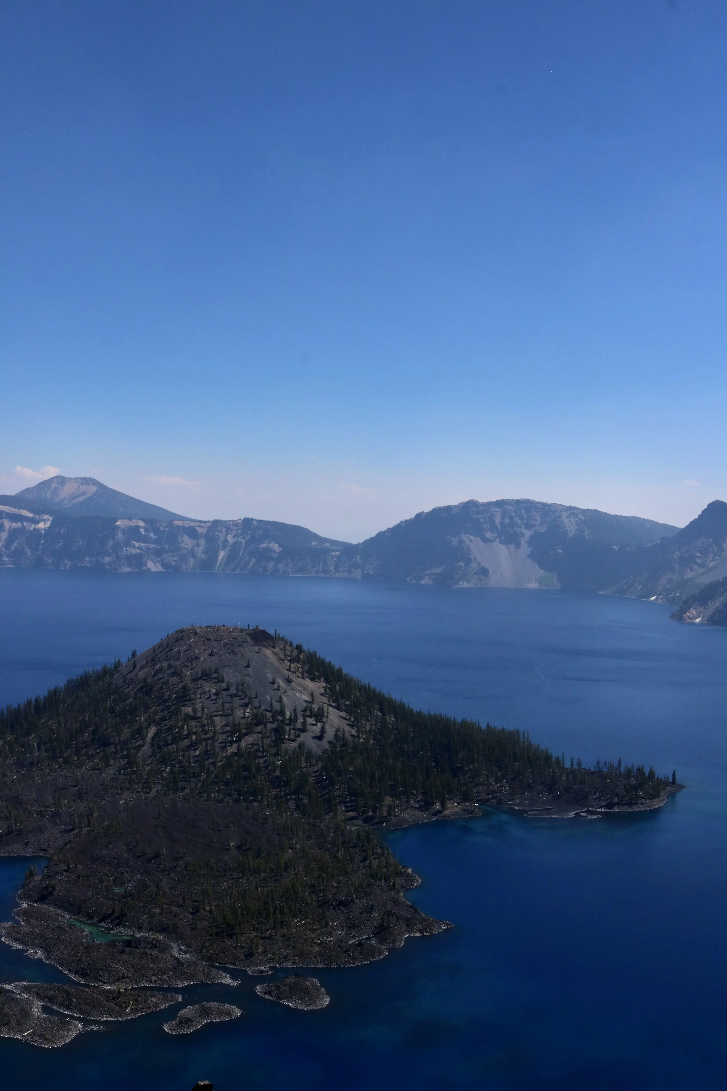
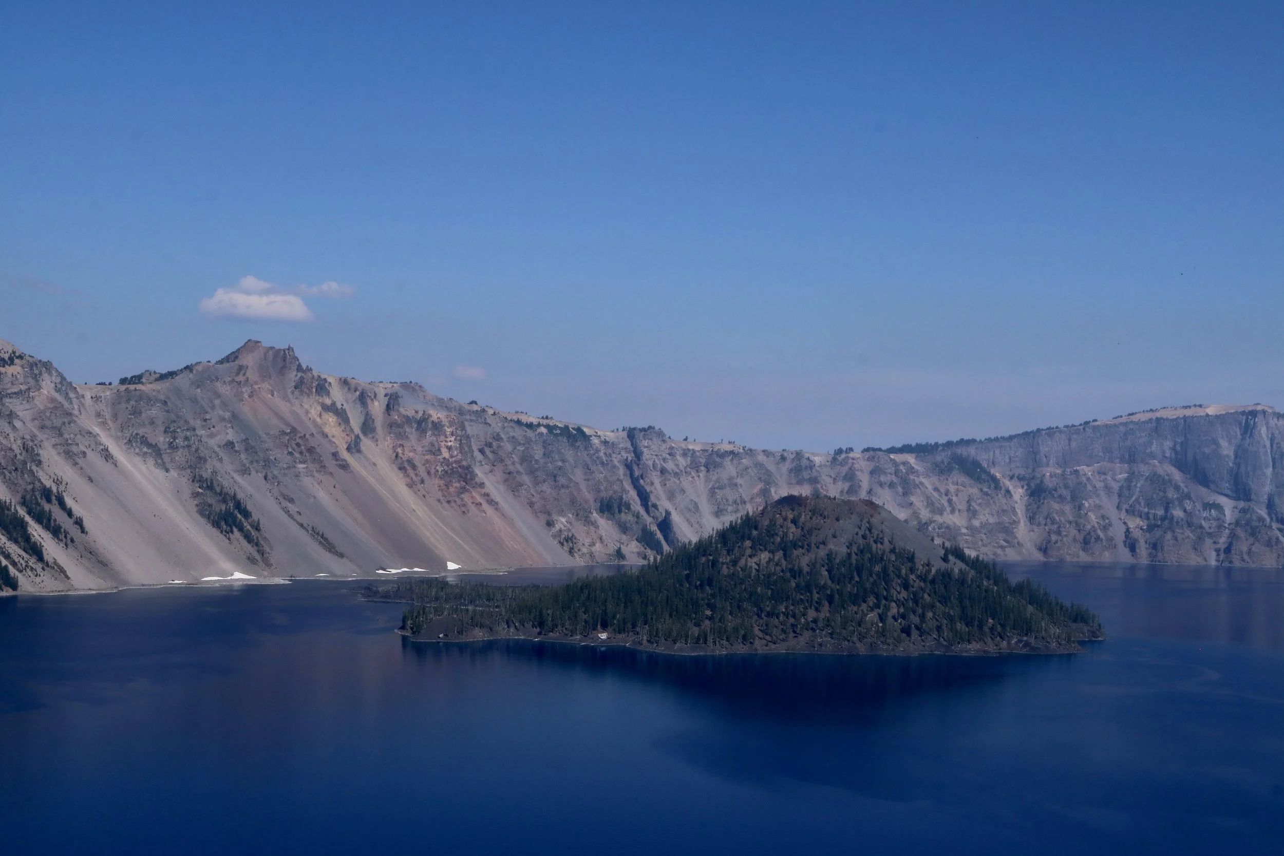
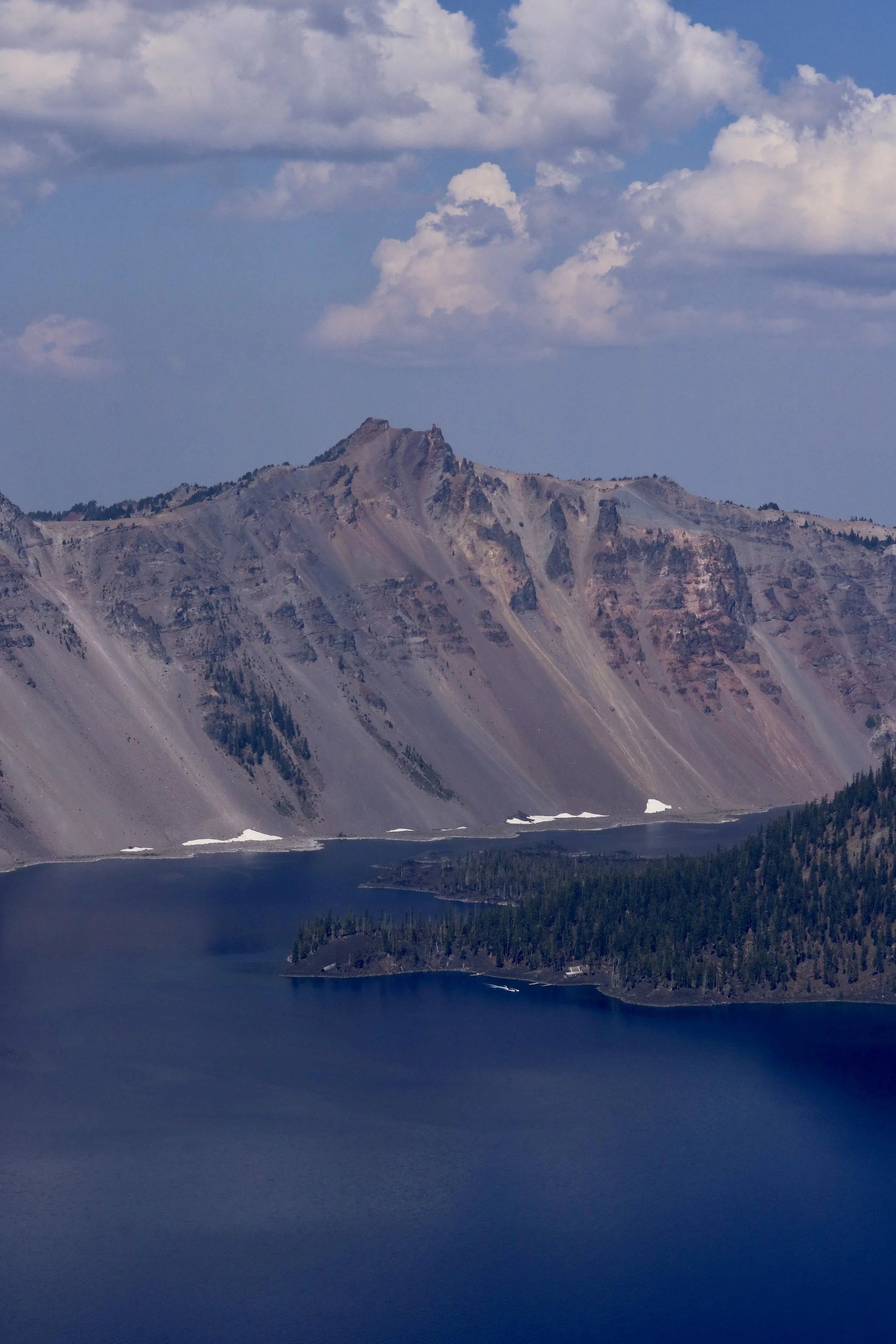
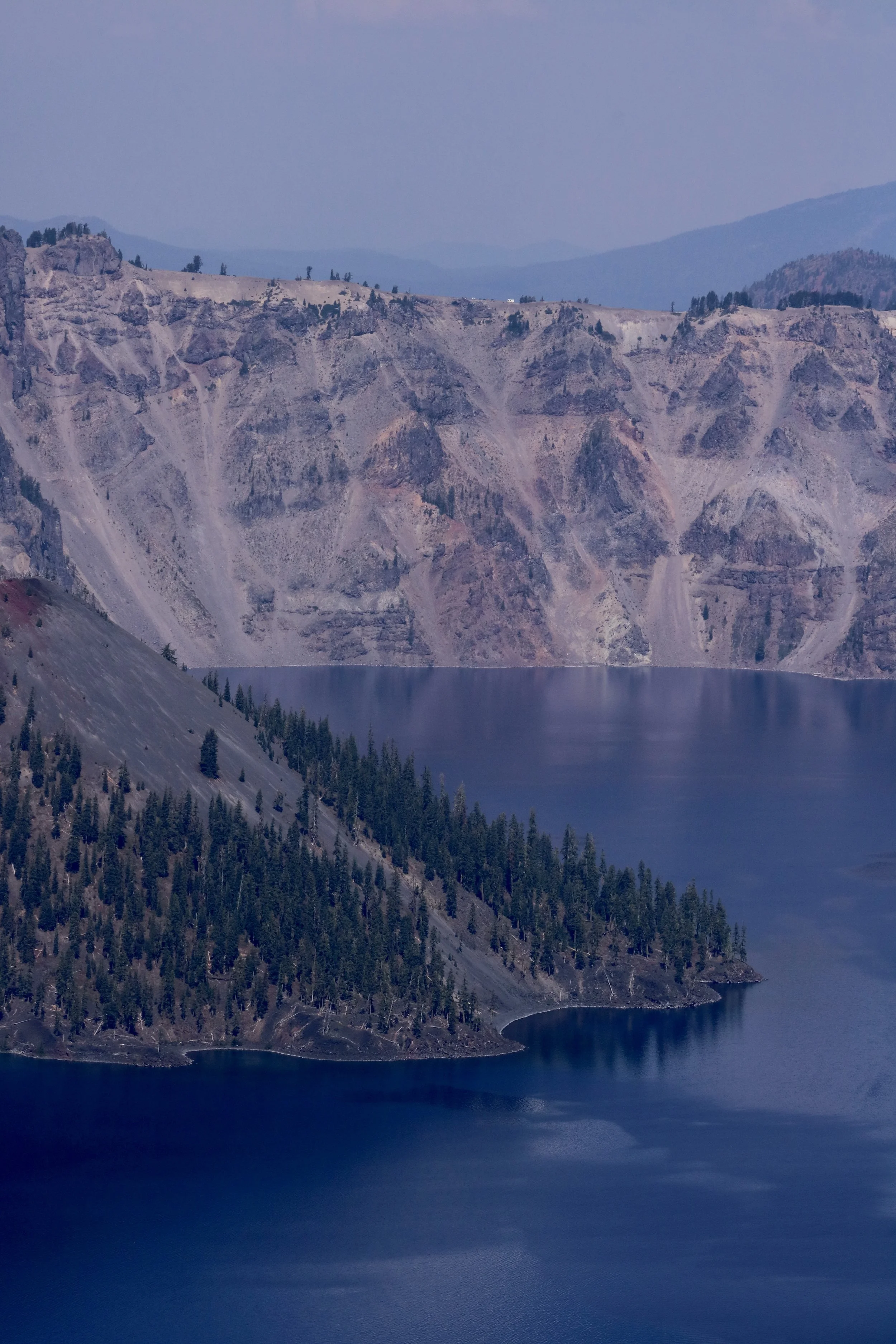
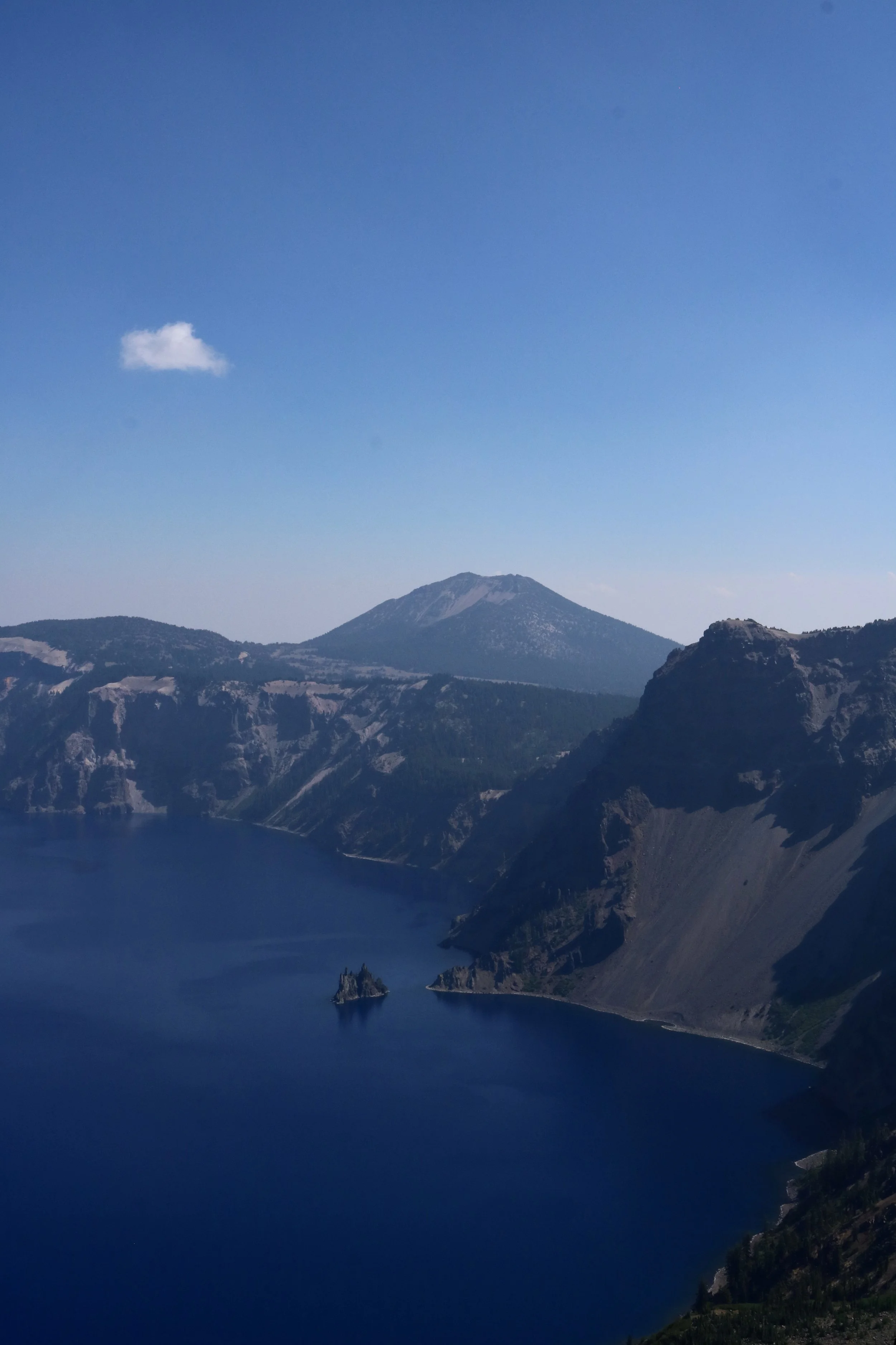
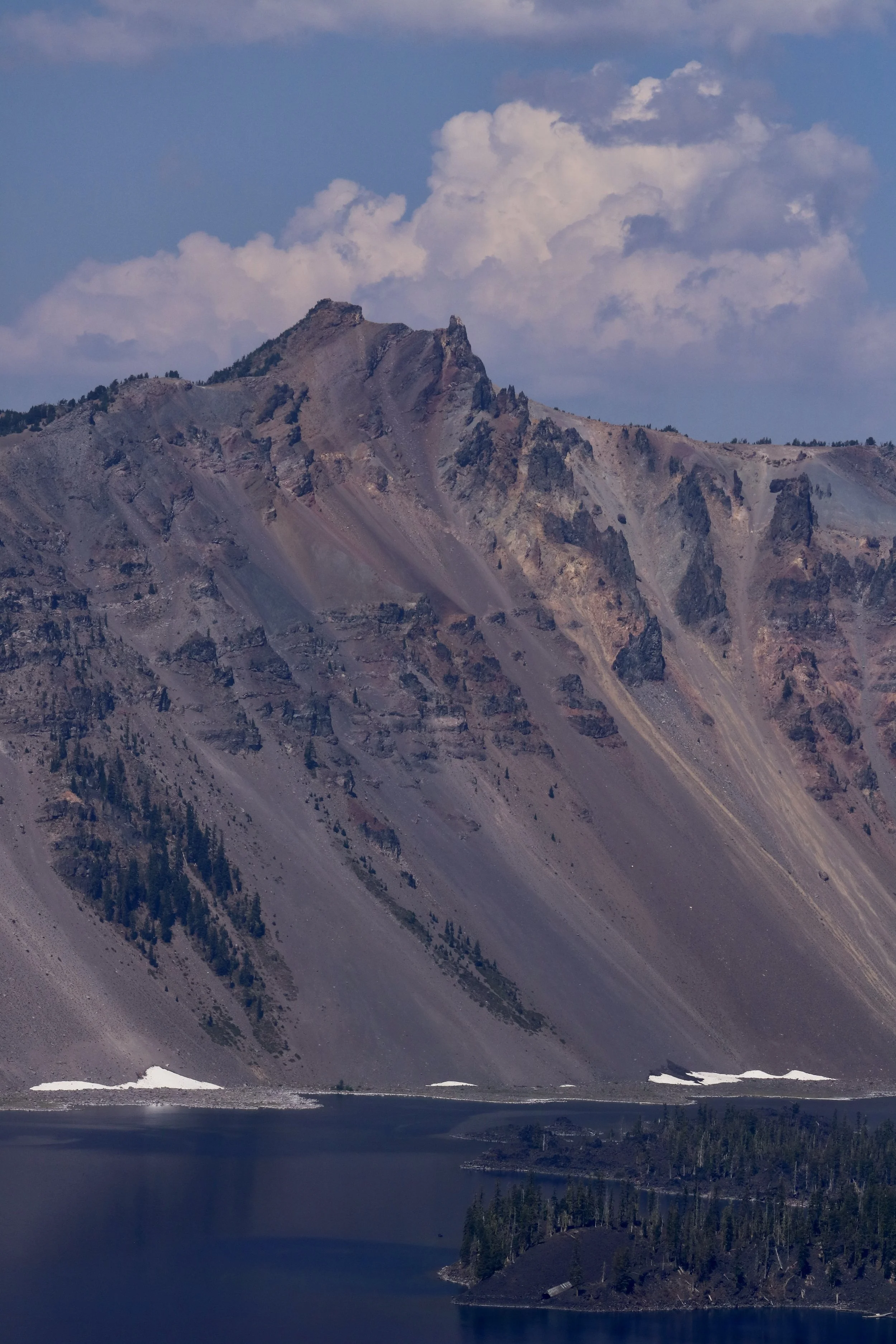
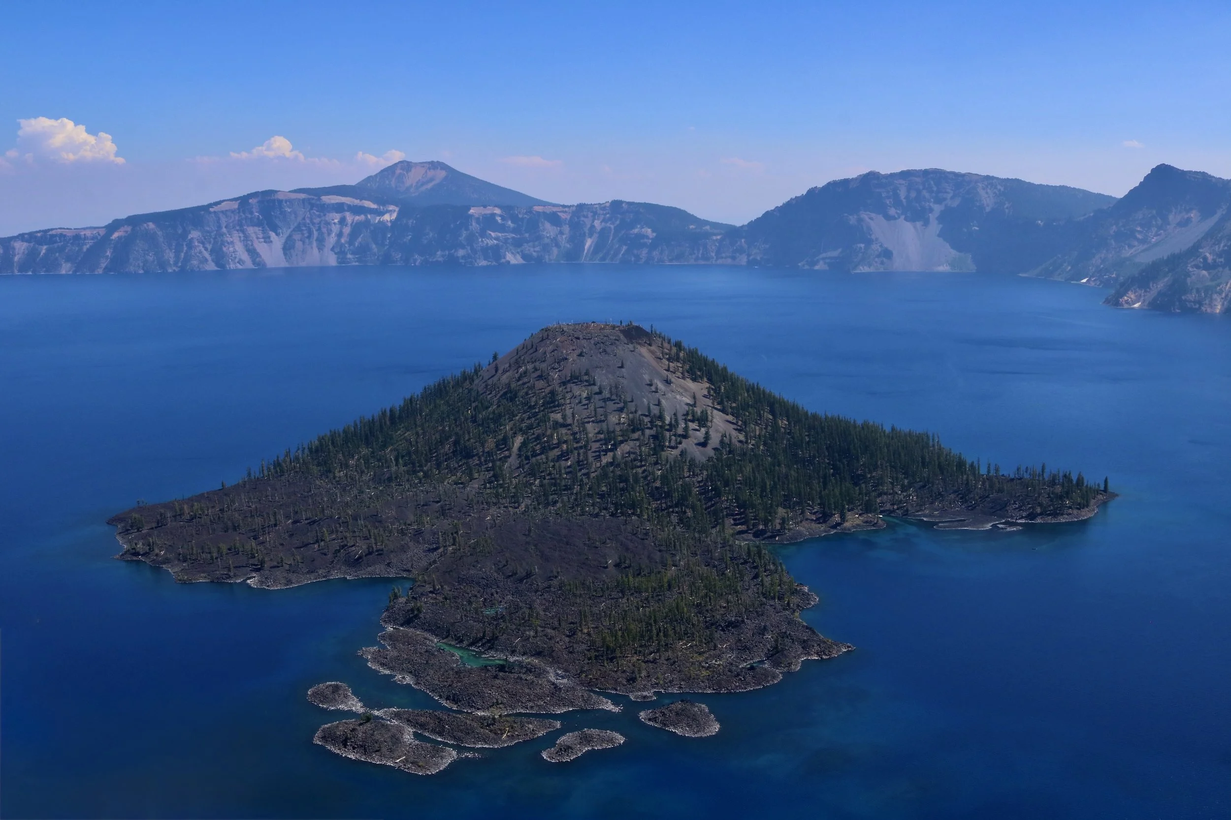
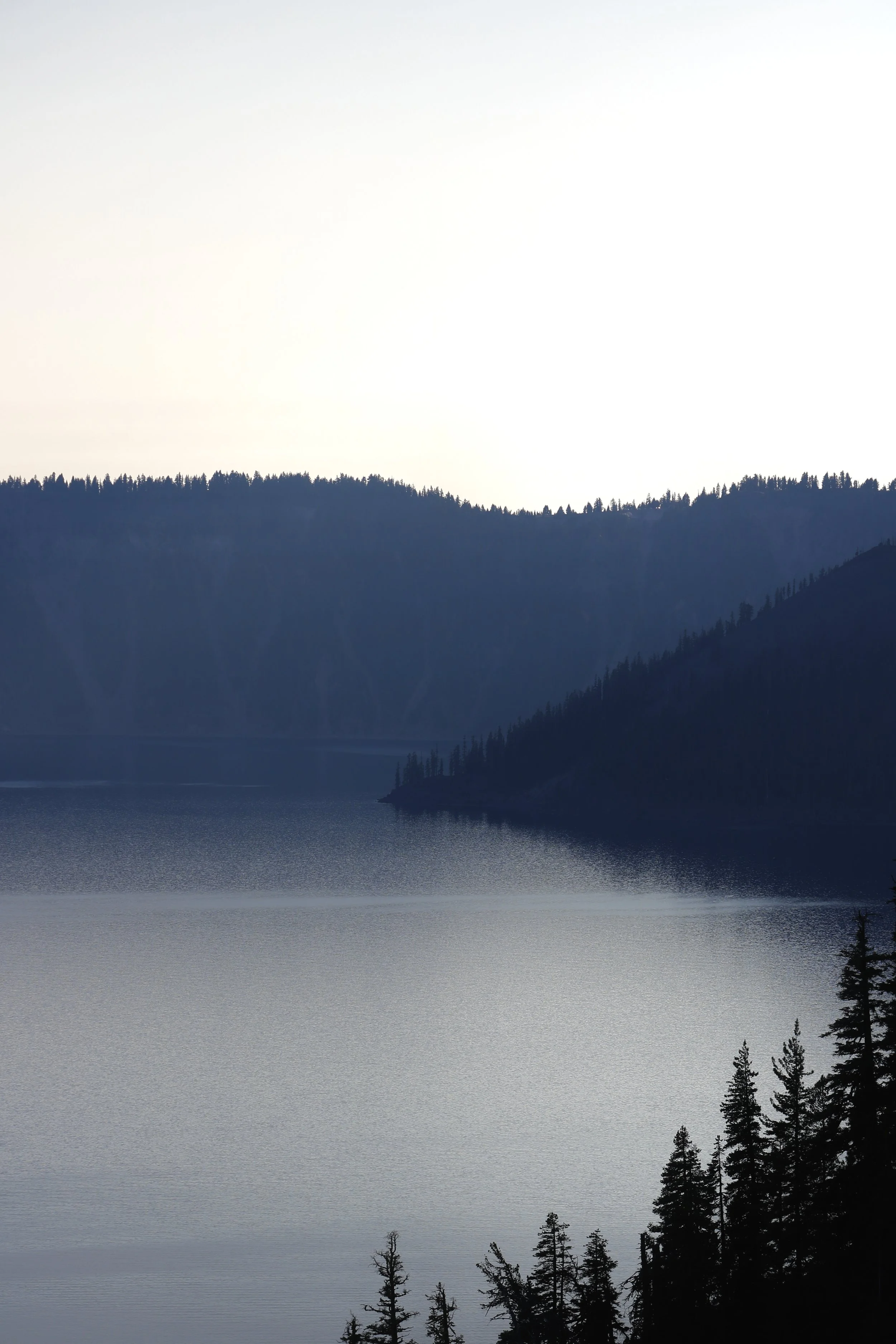
Crater Lake National Park photos
The Watchman Peak Trail — 1.7 miles ; out & back
Garfield Peak Trail — 3.6 miles ; out & back
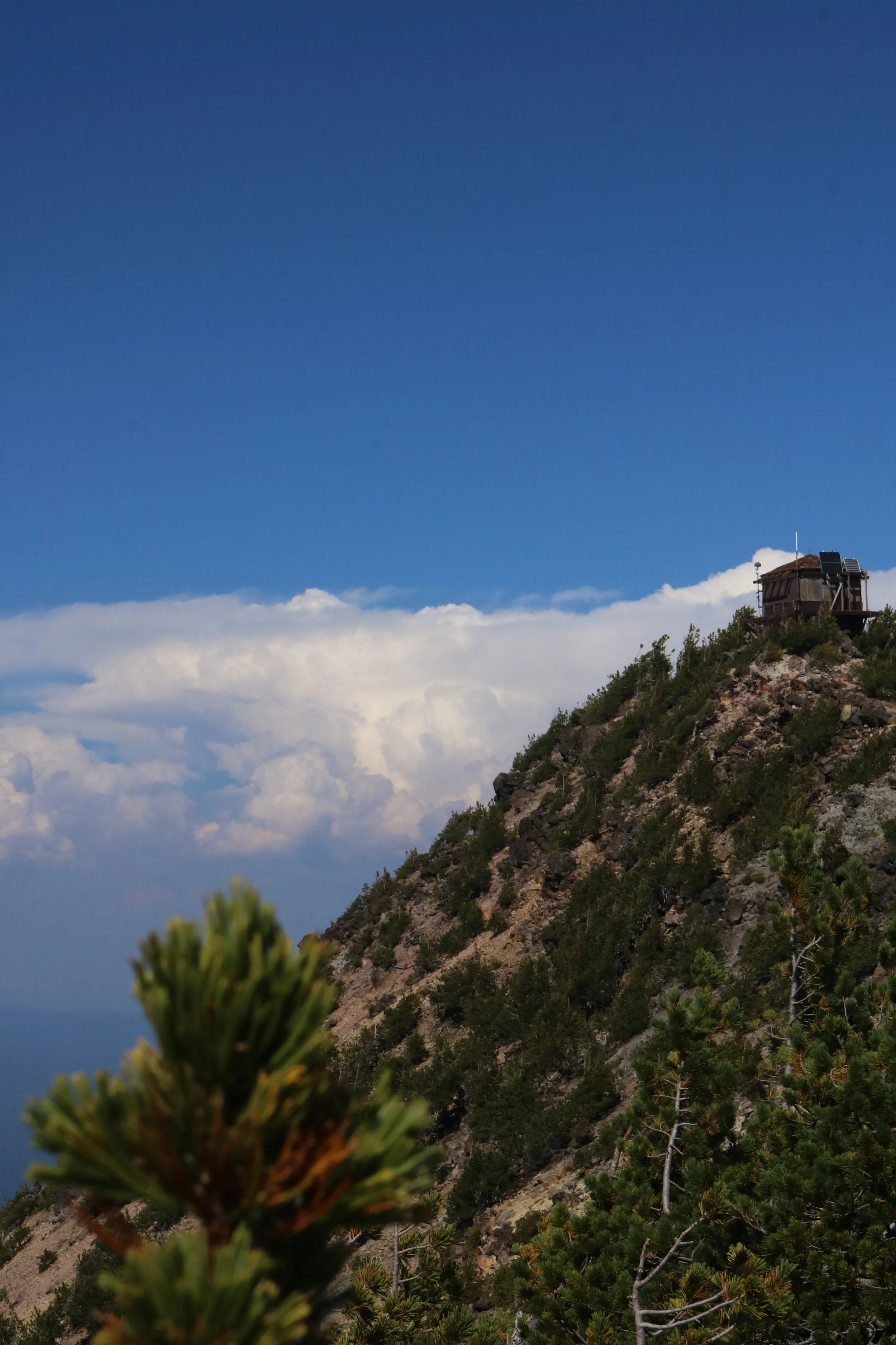
Mount Scott Trail — 4.4 miles ; out & back — the highest point in Crater Lake National Park
Cleetwood Cove Trail — 2 miles ; out & back — the only public access to Crater Lake's water — closed until 2028/2029 for major rehabilitation
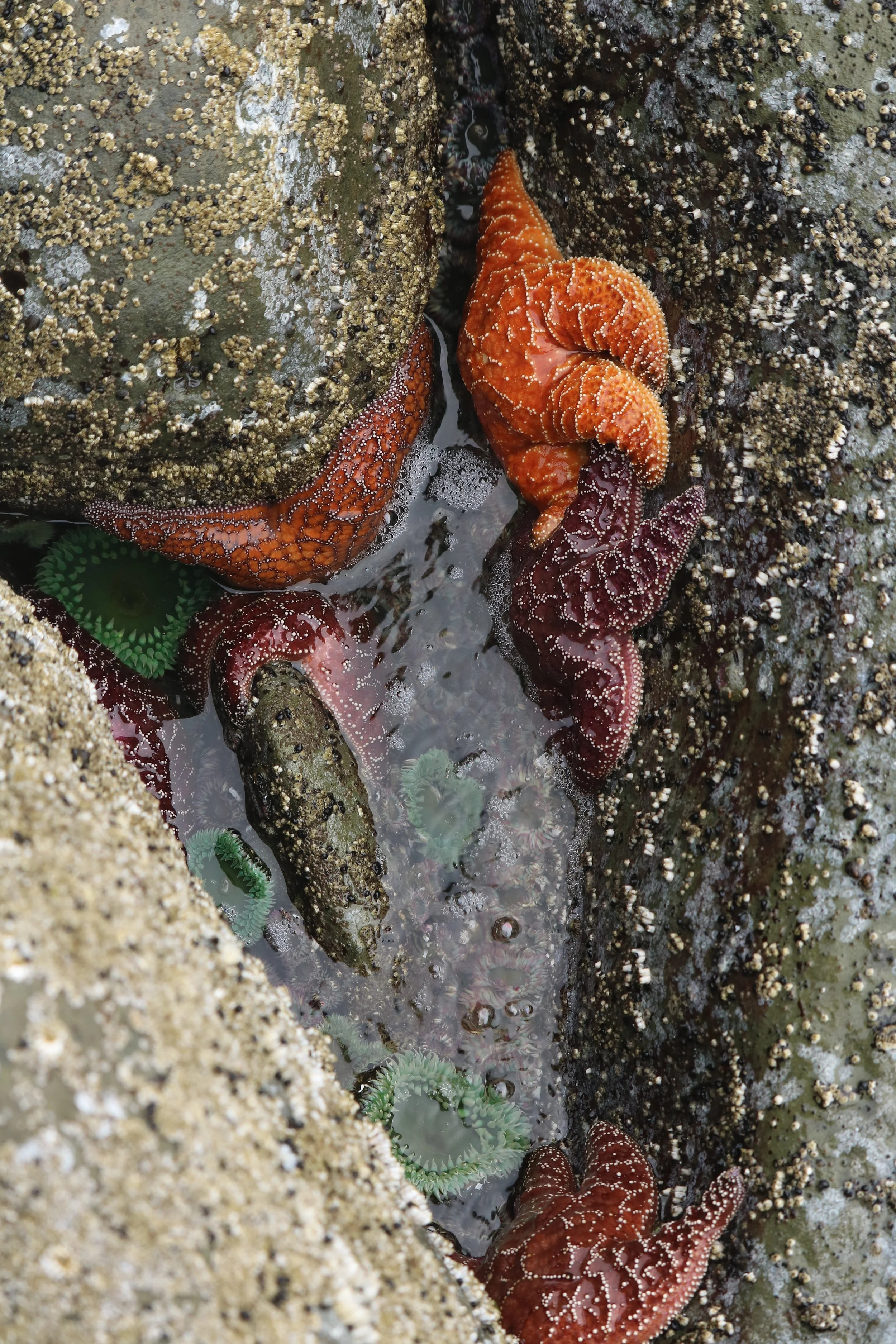
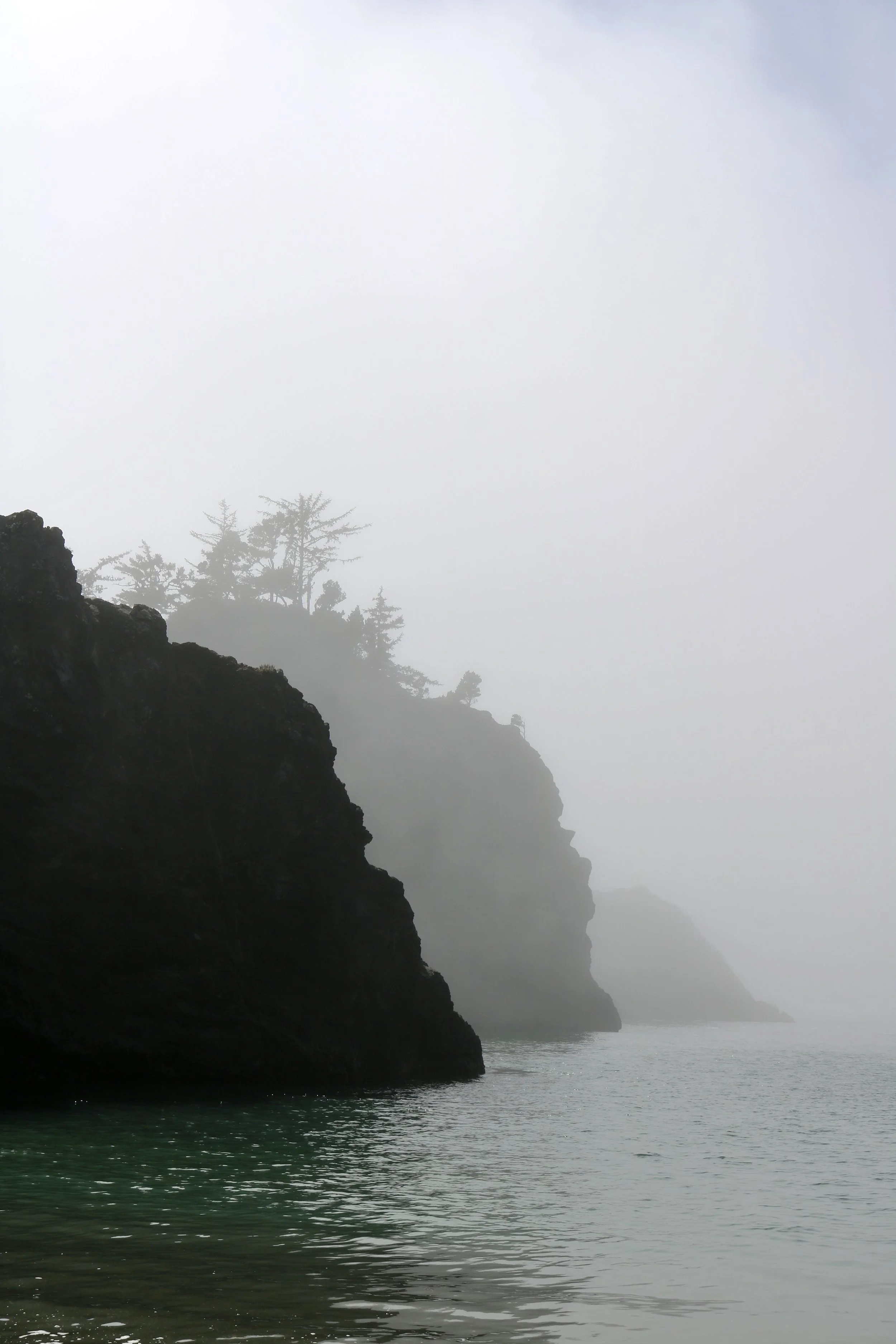
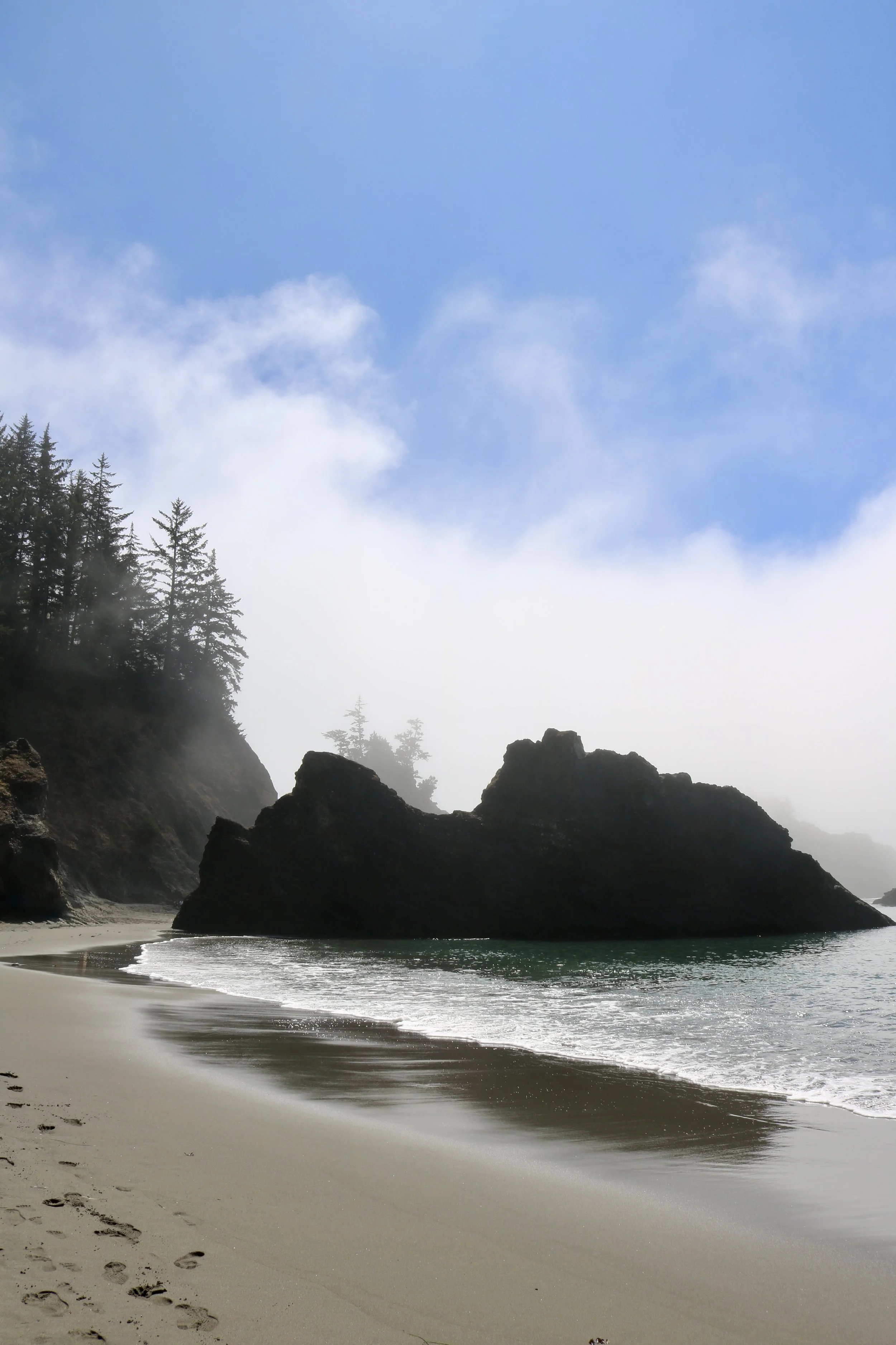
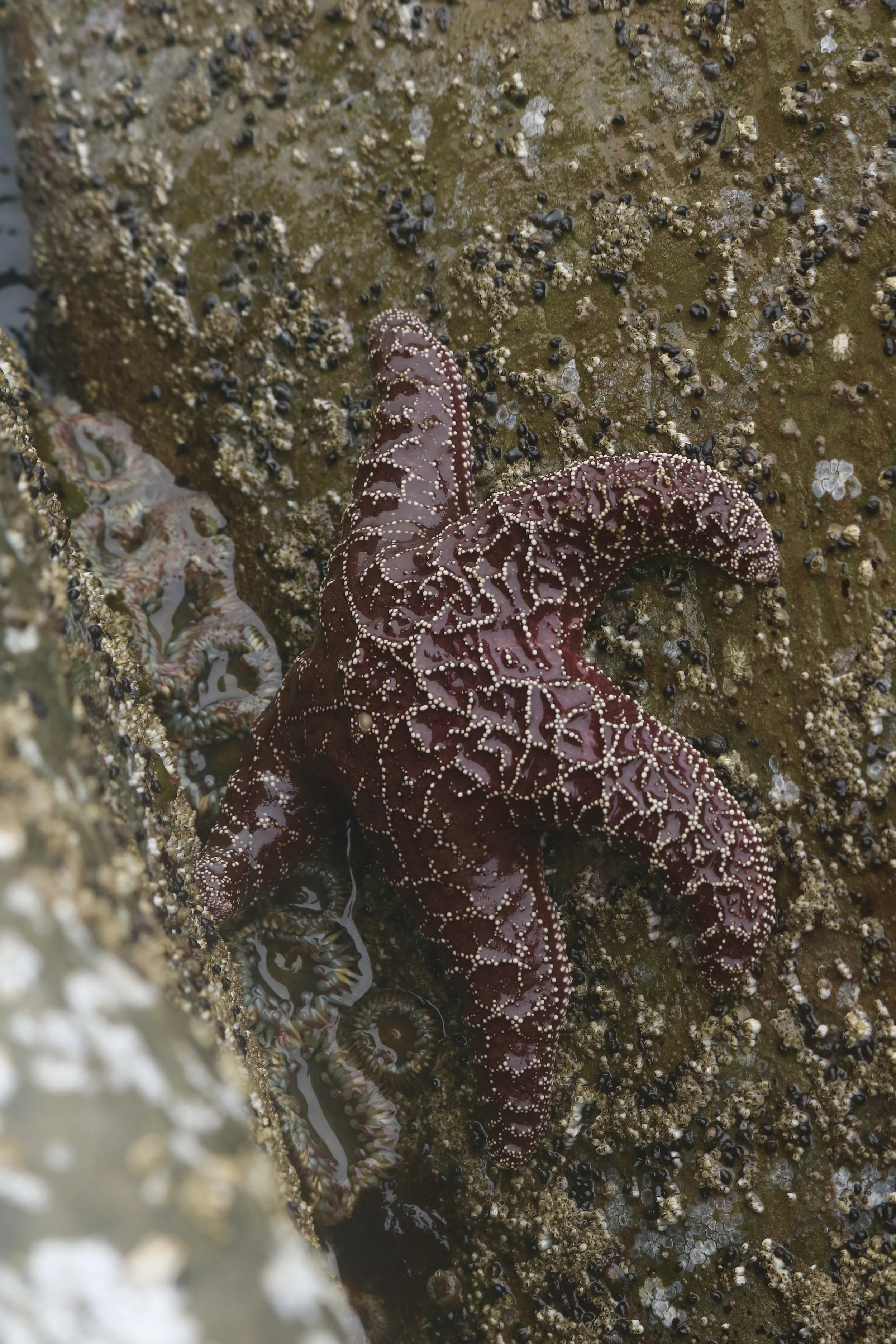
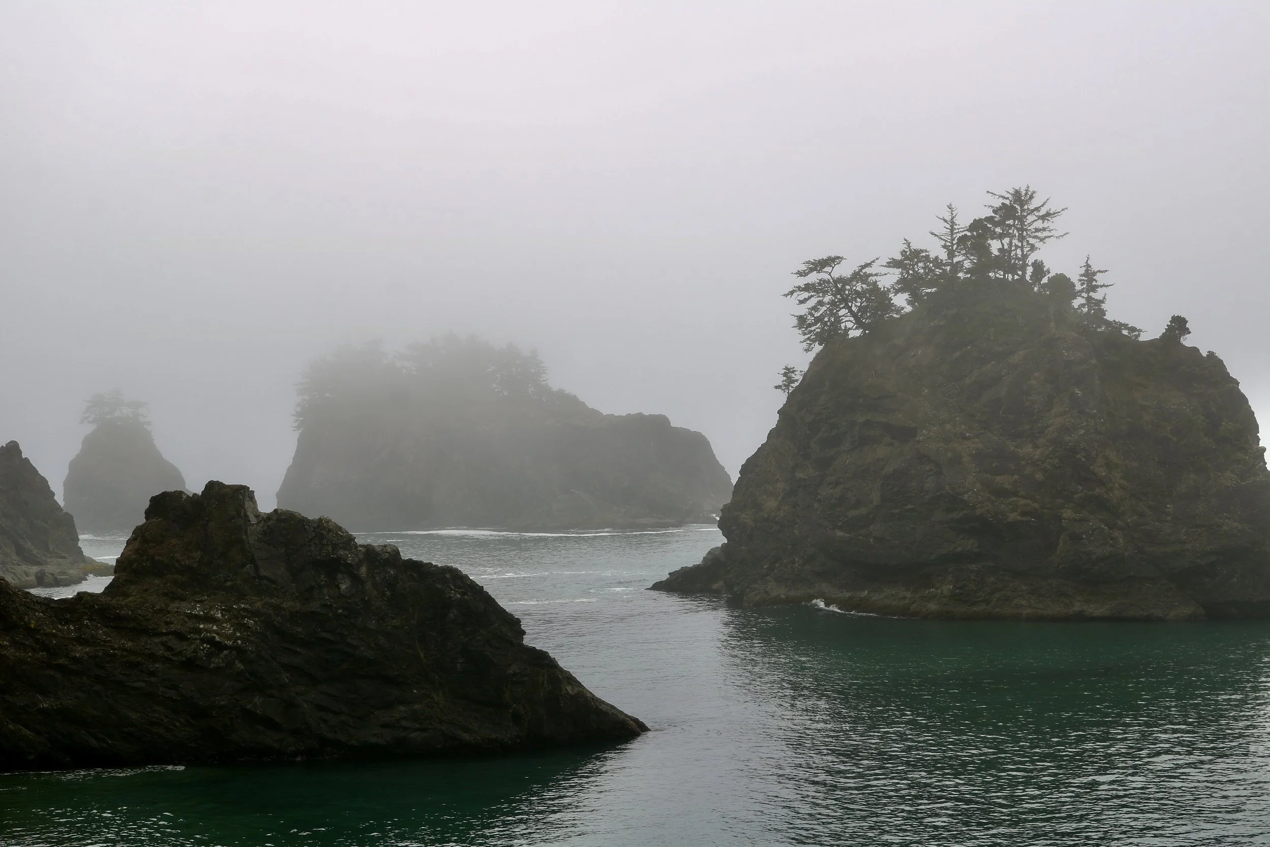
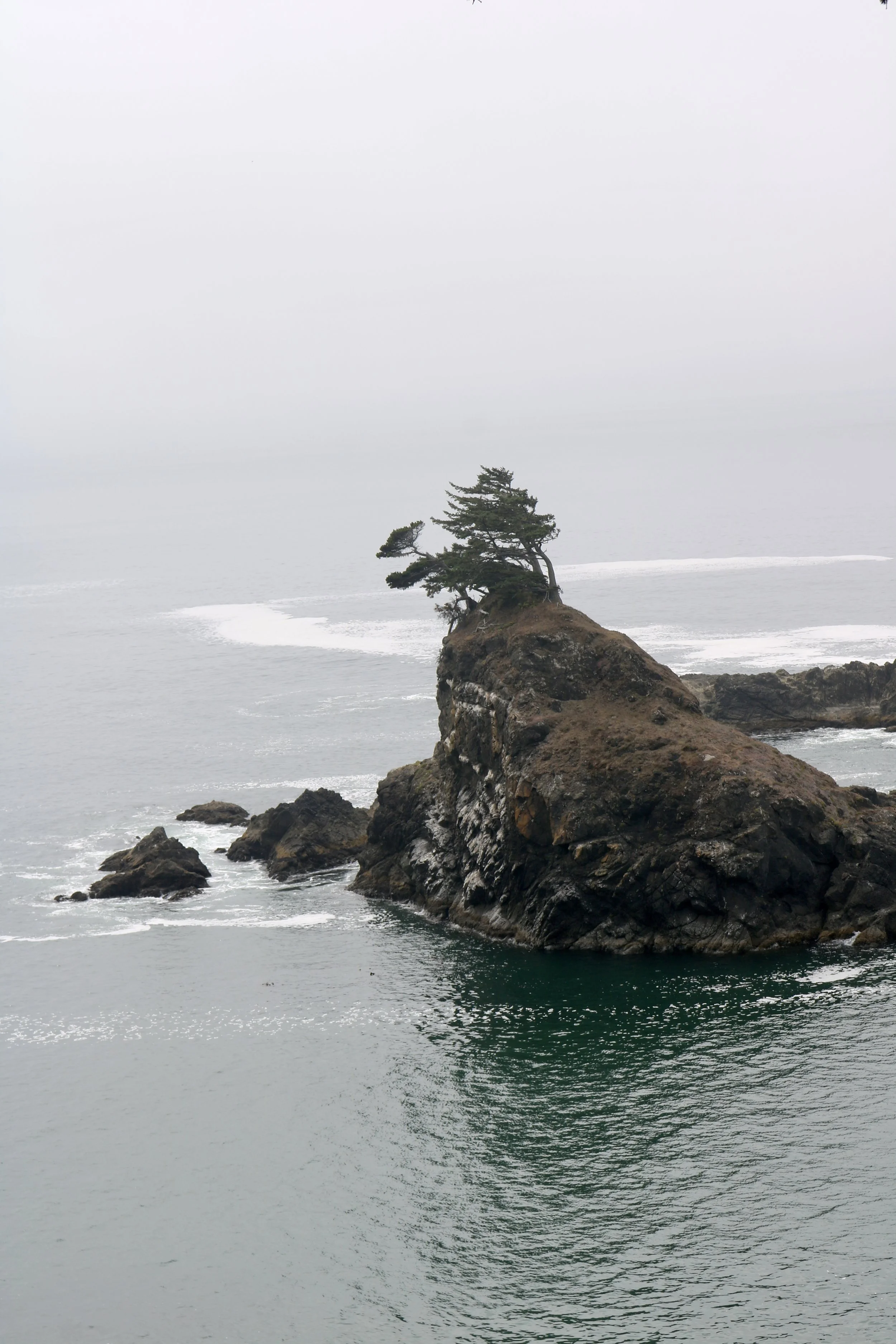
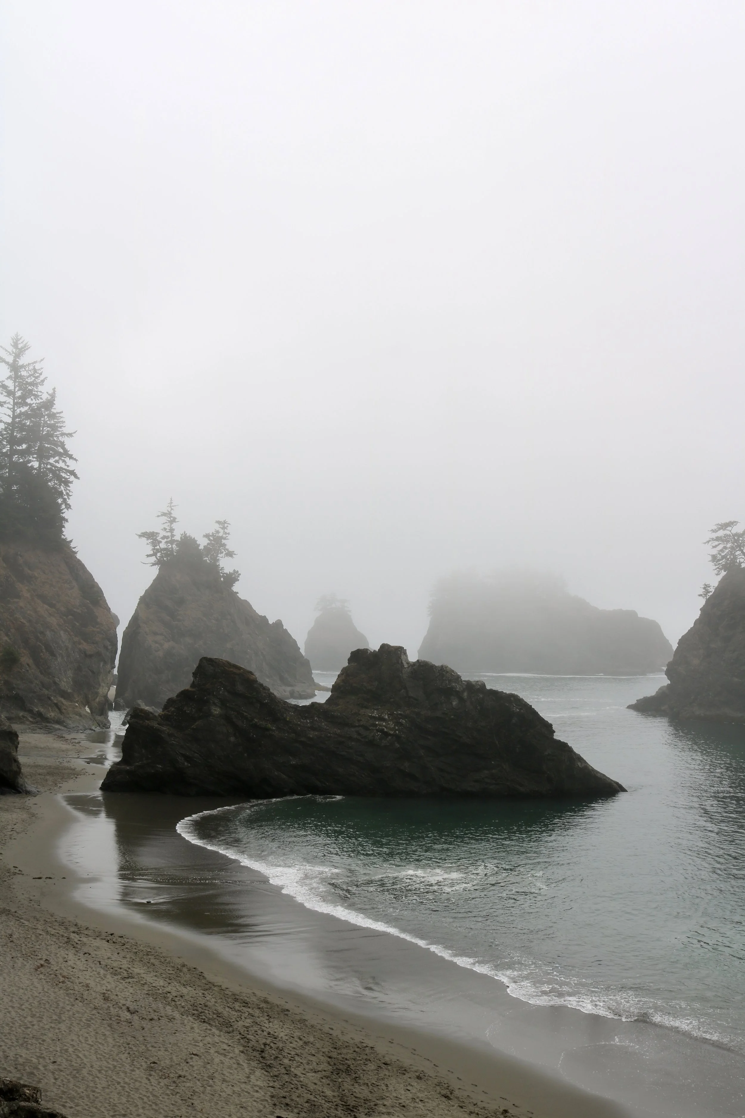
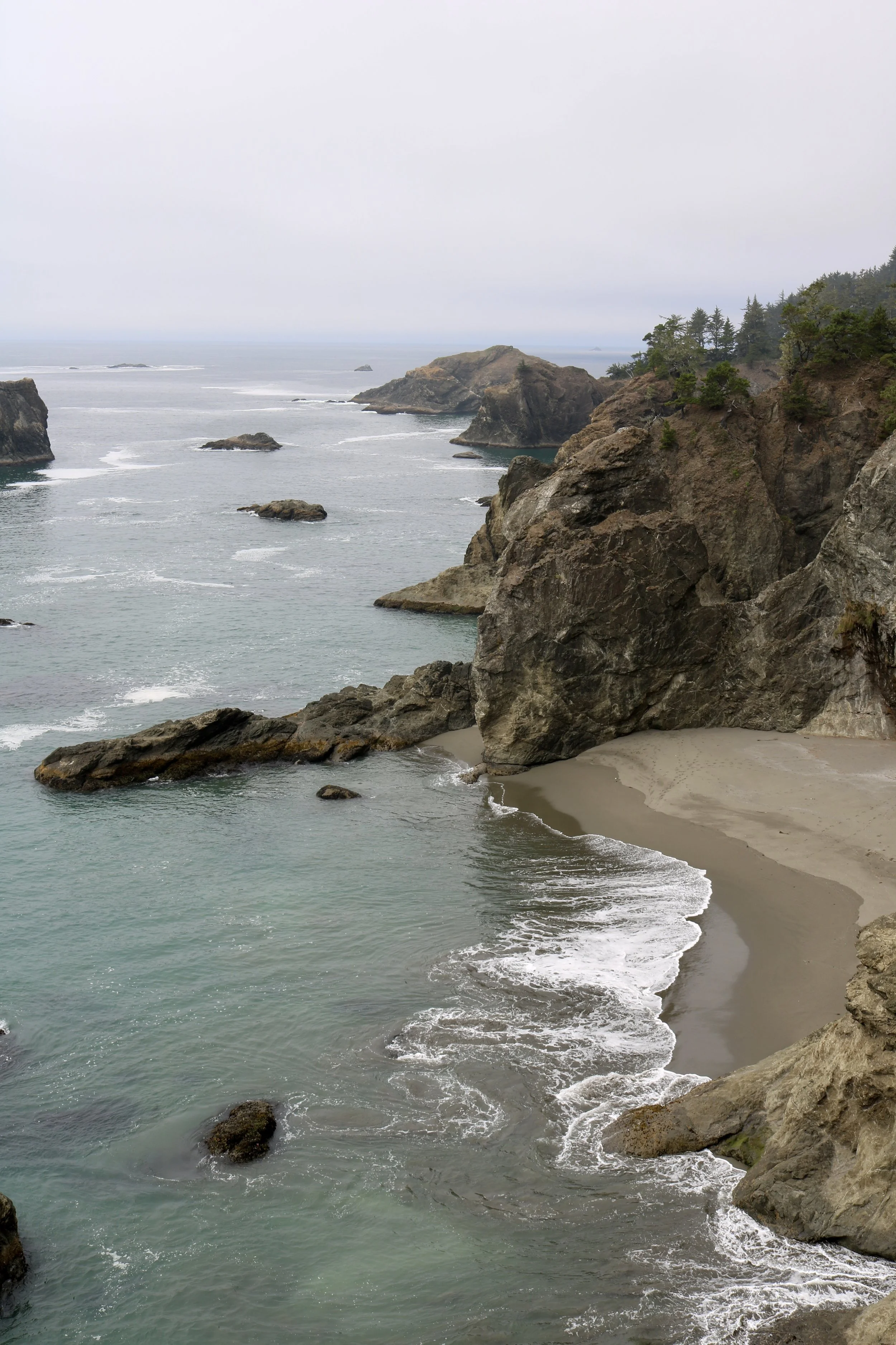
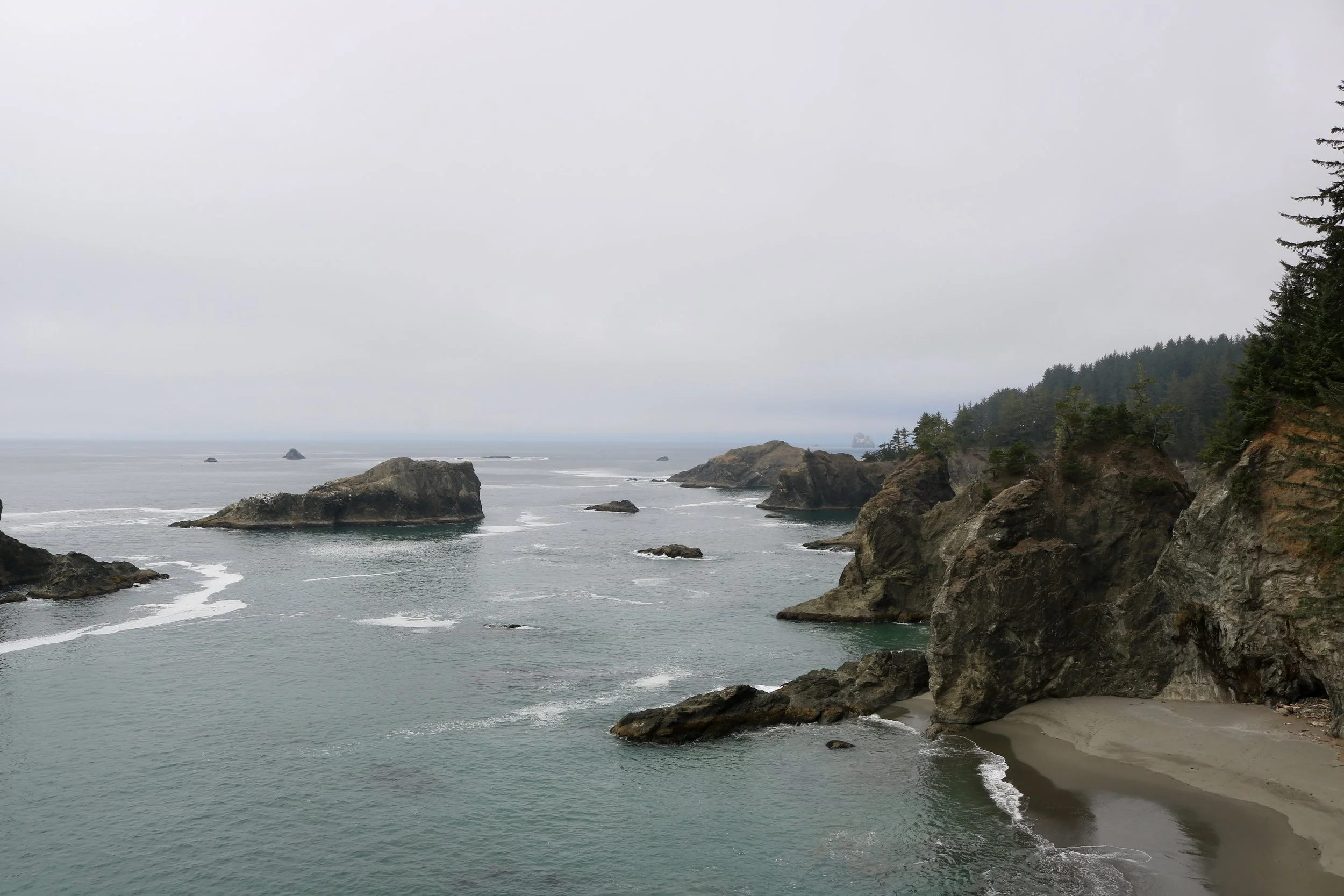
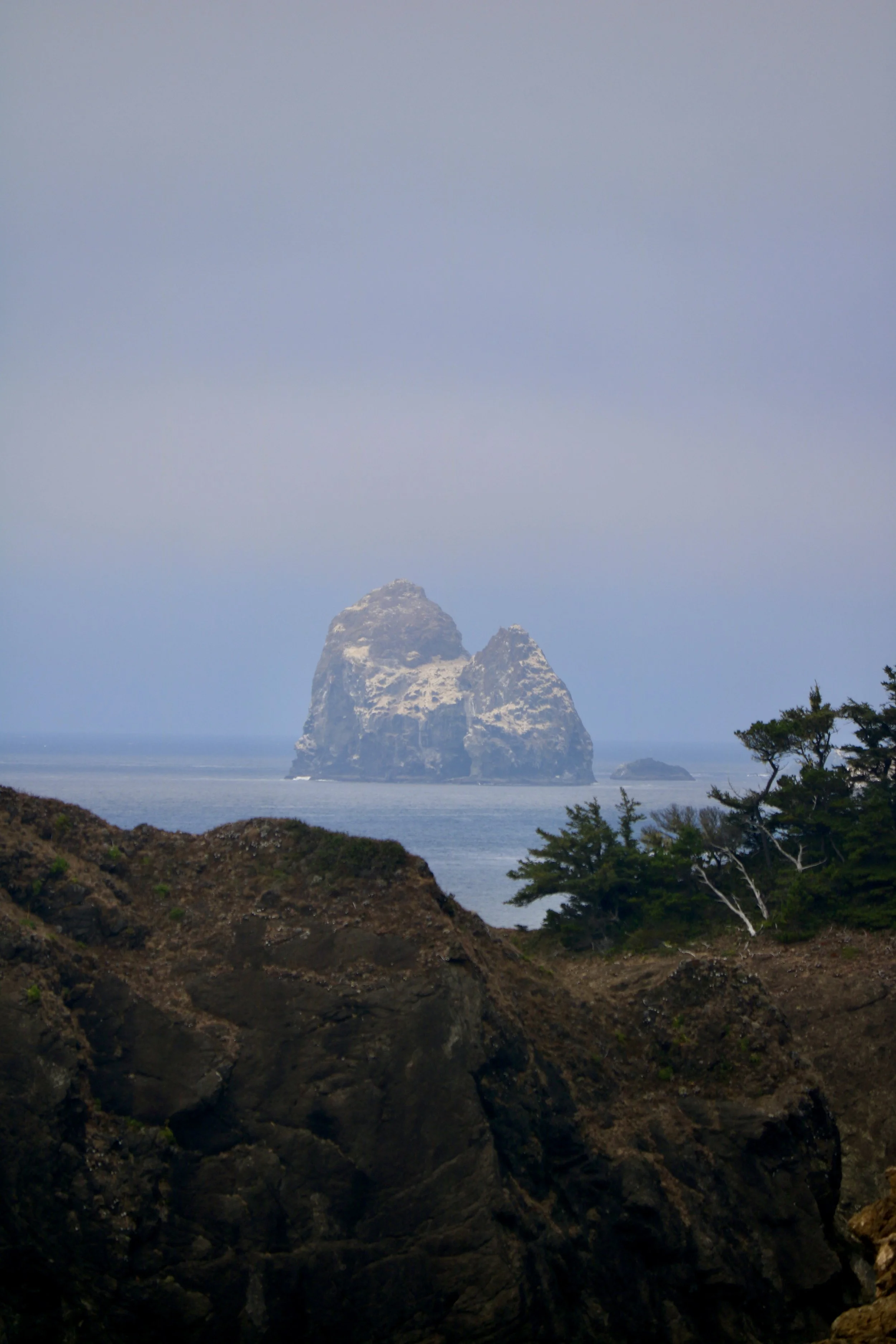
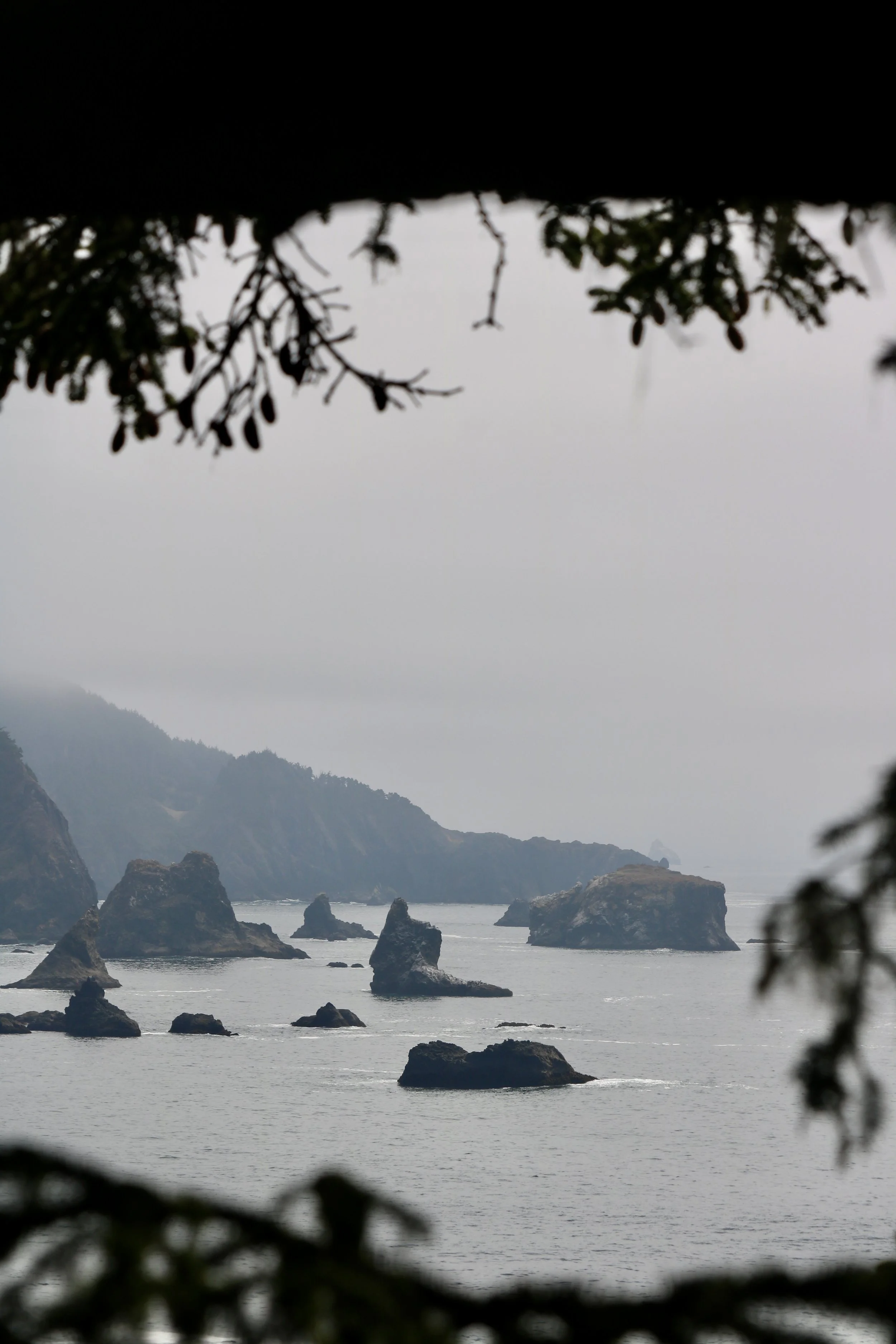
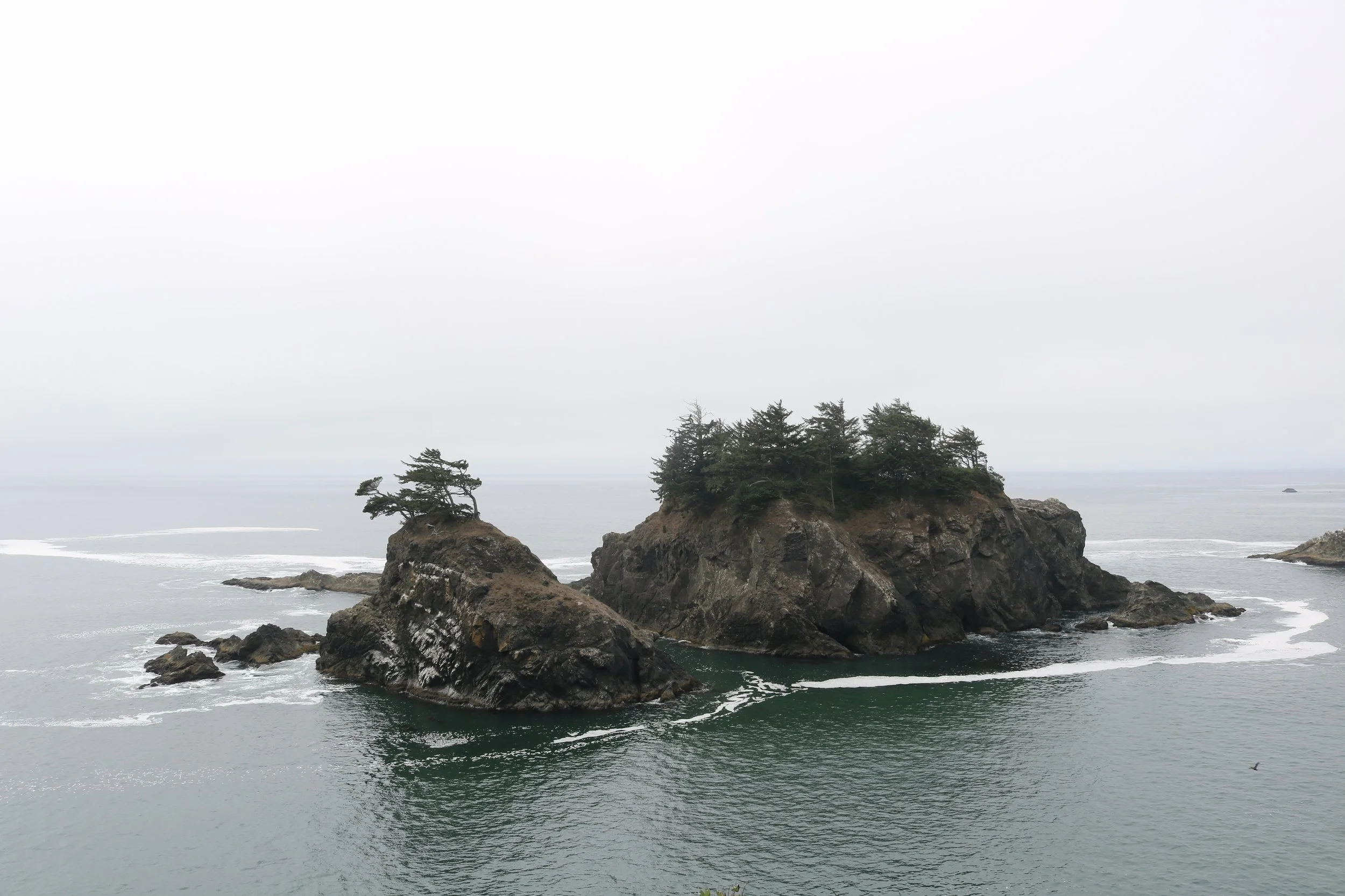
Samuel H. Boardman State Scenic Corridor (the stops I made in driving order below) photos
Cape Sebastian Trail — 3.4 miles ; out & back
Secret Beach Trail — 1.9 miles ; out & back
Natural Bridges Viewpoint Trail — 0.6 miles ; out & back
Thomas Creek Whaleshead Beach Trail — 3 miles ; loop
Indian Sands Trail — 1.1 miles ; loop
Rockway Beach Trail @ Harris Beach State Park — 0.4 miles ; out & back
Rogue River–Siskiyou National Forest
Wagner Butte Trail — 9.7 miles ; out & back
Shasta-Trinity National Forest (Northern CA)
Dog Trail from Bunny Flat — 4.5 miles ; out & back photos
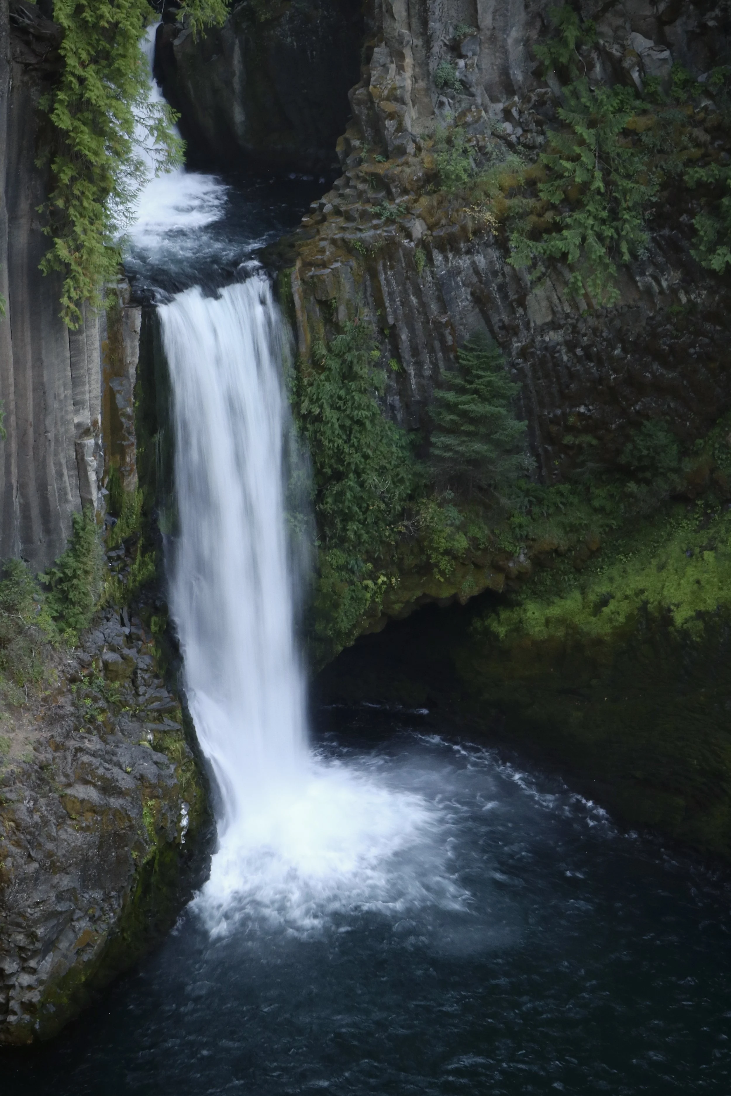
Umpqua National Forest
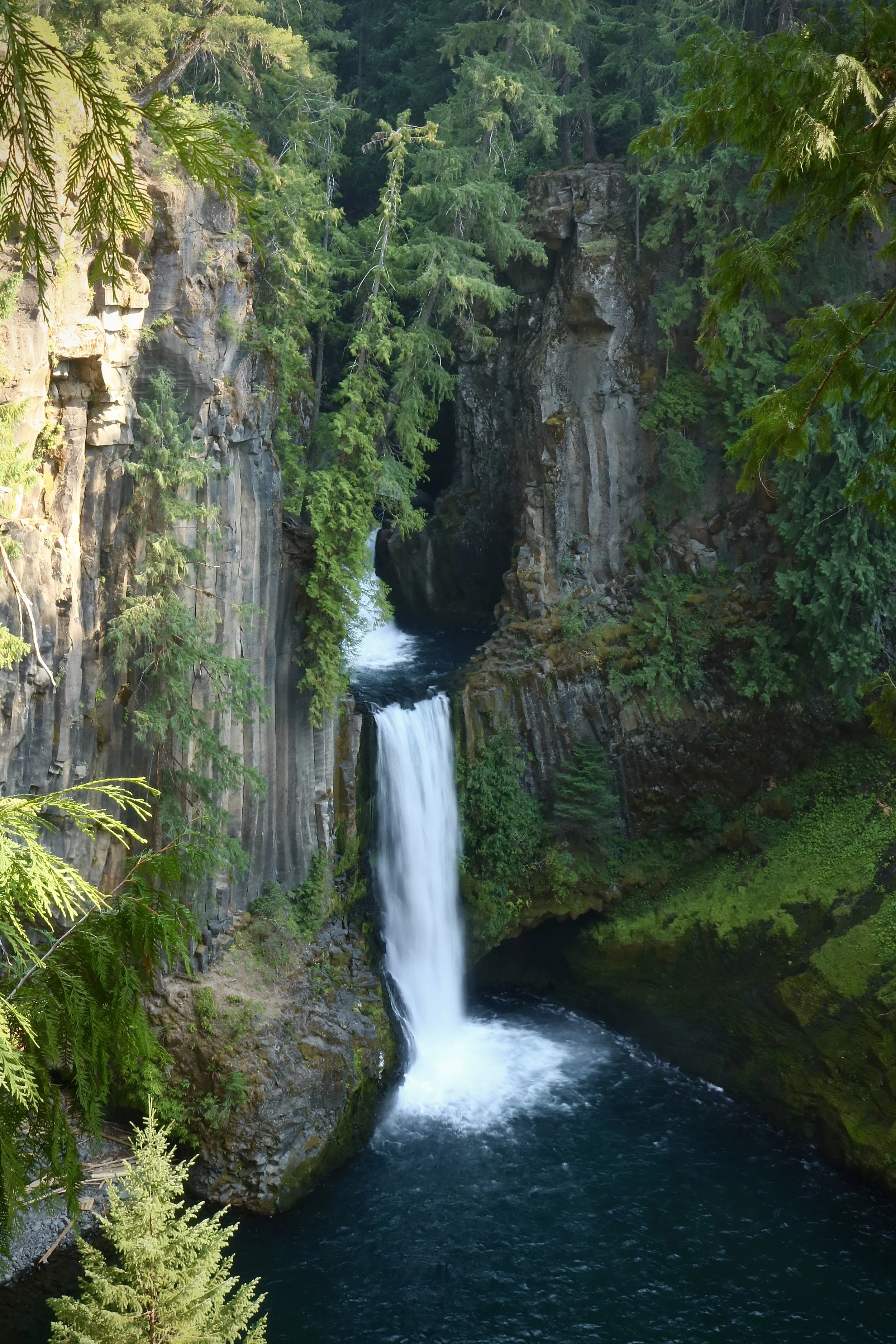
Toketee Falls — 0.8 miles ; out & back photos
Watson Falls — 0.9 miles ; out & back — the third-highest waterfall in Oregon at 272 feet
Cascade-Siskiyou National Monument
Grizzly Peak Trail — 4.9 miles ; loop
Jacksonville Forest Park
Grotto, Jackson Creek Nature Trail Loop — 3.3 miles ; loop
Table Rocks Management Area
Lower Table Rock Trail — 6.3 miles ; out & back
Cathedral Hills Park
Cathedral Hills Loop — 5.4 miles ; loop
Along the Way …